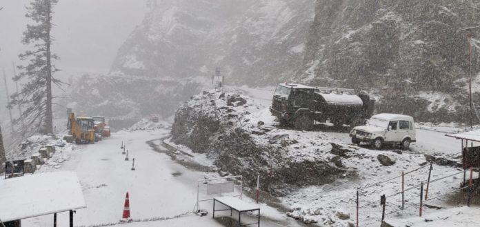
Widespread rains and snowfall are likely over the most places in Jammu and Kashmir from January 1 onwards due to back-to-back western disturbances (WDs).
According to a weather reports by Indian Meteorological Department and Sky Met Weather, the present western disturbance lies over Jammu and Kashmir and neighbourhood and another western disturbance is likely to affect western Himalayan region from 1st January 2019.
“Now, as two back to back Western Disturbances are approaching the northern hills, we expect first week of January to experience widespread rain and snowfall activities,” Sky Met Weather forecast.
Also, IMD in its Monday morning forecast said under the new western disturbance influence, the minimum temperatures over parts of northwest and adjoining central India have risen by 0.5°-1.0°C and are likely to further rise by 1-2°C during next 48 hours.
However, with a short break on January 3, another rainy spell will be observed over the hills which is expected to last till January 6.
Thereafter, from January 7, weather over the hills will start clearing up.
Sky Met Weather in its report said by end of November, Jammu and Kashmir was rain surplus by almost 38%.
“However, due to poor rains in the month of December, the state’s surplus got consumed fully and now, the state is 1% rain deficient,” the weather report said.
It said the reason for these poor rains has mainly been attributed to the feeble Western Disturbances. “Although frequency was more but they mostly tracked in higher latitudes i.e. the northern parts of Jammu and Kashmir and lasted for short durations only,” it added.


